
Reimagining London’s High Streets: Pedestrianisation, Delivery Hubs, and Borough Trade-Offs
An analysis of how London boroughs are balancing pedestrianisation schemes, micro-logistics hubs, and local retail vitality under the London Plan.
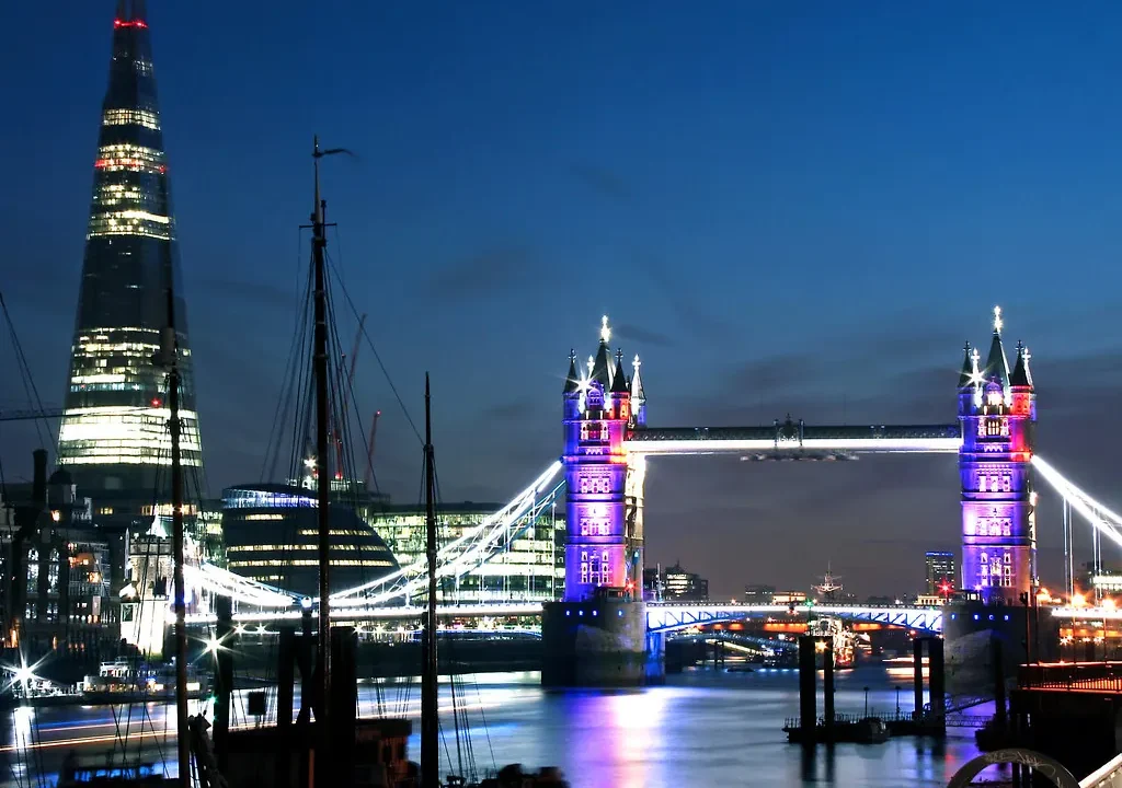

London’s high streets are undergoing a profound structural shift. Decades of retail consolidation, compounded by post-pandemic shifts in consumer habits and working patterns, have forced local authorities to rethink how commercial corridors function. No longer viewed strictly as retail destinations, high streets are increasingly treated as multi-functional public spaces where pedestrian access, active travel, social infrastructure, and last-mile logistics must coexist within tightly constrained spatial limits. Yet, translating high-level urbanism goals into borough-level delivery reveals deep operational friction.
The tension lies between strategic regional ambitions, set out in documents like the Mayor’s London Plan, and the localized realities managed by individual boroughs. While pedestrianisation schemes and Low Traffic Neighbourhoods (LTNs) aim to improve air quality and make streets more hospitable for walking and cycling, traders and service operators frequently raise concerns about servicing access, customer catchment, and footfall displacement. Understanding the true trade-offs requires looking beyond broad sustainability metrics to examine how planning policy, freight logistics, and commercial viability intersect on the ground across different London sub-regions.
Why High Street Transformation Matters Now
The contemporary high street is a barometer for London’s broader economic and environmental resilience. With the Mayor of London setting ambitious targets for mode shift toward active travel and public transport, the design of local commercial centers directly influences city-wide carbon reduction goals. However, urban density means that every square meter of public realm serves multiple competing masters: outdoor dining, bus priority corridors, cycle parking, utility access, and waste storage.
When boroughs implement pedestrianisation or restrict vehicular access, the immediate impact on public health and air quality is often measurable within months. Transport for London (TfL) monitoring data across various Healthy Streets interventions consistently highlights reductions in nitrogen dioxide and increases in active travel uptake. Yet, these regional gains must be weighed against the localized economic shocks experienced by independent businesses that rely on vehicular passing trade or convenient van deliveries. Without careful coordination, well-intentioned interventions risk accelerating commercial vacancy rates or shifting traffic congestion onto peripheral residential boundary roads.
What Official Data and Planning Guidance Show
Examining current municipal strategies reveals a patchwork approach rather than a uniform city-wide template. While inner London boroughs often focus on permanent traffic filters and expansive public realm reclamation, outer London councils face distinct spatial challenges characterized by car-dependent town centers, wider arterial roads, and different retail formats.
Guidance from the Greater London Authority (GLA) and TfL emphasizes the concept of ‘Good Growth,’ which integrates high-density housing development with accessible local services within a 15-minute neighborhood framework. However, planning committee papers from boroughs such as Lambeth, Hackney, and Bromley demonstrate starkly different risk appetites when balancing trader feedback against long-term environmental targets. Data from the London Datastore on retail vacancy rates underscores that town centers with diverse cultural and leisure offerings tend to recover more robustly from pedestrianisation changes than those overly dependent on legacy comparison retail.
Comparing High Street Intervention Models
| Intervention Type | Primary Urban Benefit | Main Operational Risk | Typical Borough Context |
|---|---|---|---|
| Full Pedestrianisation | Maximum air quality and public space gain | Servicing friction and delivery access loss | Historic town centers and core retail strips |
| Timed Access Restrictions | Balances freight needs with pedestrian safety | Enforcement complexity and driver confusion | Mixed commercial-residential corridors |
| Micro-Logistics Hubs | Reduces heavy freight miles on local streets | Finding suitable, affordable commercial land | High-density inner London boroughs |
| Bus Gate Priority | Speeds up high-capacity public transport | Displaces local traffic onto secondary routes | Major arterial transit corridors |
Competing Readings and Policy Interpretations
Urbanists and local traders frequently interpret the success of high street schemes through entirely different lenses. Proponents of active travel point to increased dwell times, vibrant cafe cultures, and safer environments for children and older residents as definitive proof of success. From this perspective, the high street should shed its historic identity as a conduit for motor vehicles and return to being a civic gathering space.
Conversely, retail associations and high street business groups argue that planning authorities often underestimate the logistical complexity of running a shop or hospitality venue in London. Issues such as the soaring cost of commercial waste collection, the scarcity of designated loading bays, and the rigidity of traffic enforcement can make daily operations untenable for small businesses. Critics suggest that prioritizing pedestrian aesthetics without providing robust, subsidized servicing solutions risks creating sterile, homogenised zones dominated by chain stores capable of absorbing logistical inefficiencies.
What Remains Unclear in Current Borough Strategies
Despite years of experimentation with temporary and permanent street transformations, significant knowledge gaps persist regarding long-term economic resilience. First, the displacement effect of traffic filters remains contentious; while congestion drops inside a specific intervention zone, comprehensive city-wide monitoring of boundary road impacts often lacks granular detail.
Second, the scalability of micro-logistics hubs—whereby large freight is consolidated outside the center and brought in by cargo bike—relies heavily on temporary grants and private-sector initiative rather than a permanent municipal infrastructure network. Without long-term public sector backing and integrated land-use planning, these innovative delivery models remain vulnerable to commercial market fluctuations. Finally, genuine community consensus is notoriously difficult to measure; consultation responses tend to polarize between vocal cycling advocates and equally vocal opposition groups, leaving local councillors navigating difficult political terrain without clear mandate thresholds.
Practical Next Checks for Urban Practitioners and Researchers
For those studying or participating in London’s urban planning landscape, evaluating a high street scheme requires looking past promotional press releases and examining primary evidence.
Review Borough Local Plans and Consultation Reports: Examine the specific equalities impact assessments and traffic monitoring reports published by the local council rather than relying solely on summary announcements.
2. Inspect Servicing Management Plans: Check whether planning applications for public realm changes include realistic, enforceable delivery and servicing plans (DSPs) that account for local business needs.
3. Consult TfL and London Datastore Metrics: Cross-reference local footfall counts and air quality readings with city-wide datasets to distinguish between seasonal retail trends and genuine structural improvements driven by street design.
4. Engage Directly with Local Traders: Speak with independent retailers and logistics operators in the target area to understand the practical daily friction points that formal planning documents may overlook.
Related updates

When zoning reform meets private covenants: the HOA obstacle to backyard cottages
As more US cities rewrite zoning rules to allow accessory dwellings, private homeowners’ association covenants remain a barrier that reform alone cannot…
Read update
Seattle-Area Race Highlights Diverging Approaches to Housing, Transit and Tech Taxation
A Washington State legislative race in the 32nd District pits incrementalism against urgency on housing supply, transit funding and tech regulation, with…
Read update
New York court ruling on sanctuary policies carries implications for city-level immigration enforcement across the US
A federal judge has dismissed the Trump administration’s attempt to override New York City’s restrictions on immigration enforcement cooperation, citing state sovereignty.…
Read update
Automated license plate readers raise privacy, contract and oversight questions for UK cities
A new US-focused analysis of automated license plate recognition cameras highlights contract, privacy and oversight issues that London boroughs and Transport for…
Read updateWiki relacionada
Transport for London: The Backbone of Transit, Street and Service Reporting
Transport for London (TfL) is the UK’s most comprehensive source for transit data, street management and service-quality reporting. This reference page explains…
Read update
Transport for London: The Backbone of Transit, Street and Service Reporting
Transport for London (TfL) operates the city’s buses, Tube, trams, river services, roads and cycling infrastructure. This reference page explains how TfL…
Read update
Understanding the London Plan: A Guide to the Capital’s Spatial Development Strategy
The London Plan sets the strategic framework for development, housing, transport and the public realm across the capital. This guide explains its…
Read update
Transport for London as a Source for Transit, Street and Service-Quality Reporting
Transport for London is one of the most comprehensive urban data providers in the world. This reference page explains how journalists, planners…
Read update