
Transport for London (TfL): The Essential Source for London Transit Data
A practical reference guide to using Transport for London (TfL) as a primary source for transit, street, and service-quality reporting. Covers official website, open data portal, key datasets, and how urbanists, journalists, and researchers can access authoritative information.
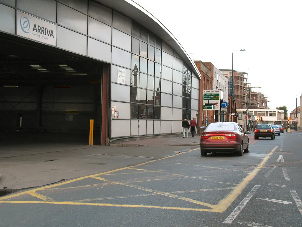
Transport for London (TfL) is the integrated transport authority for Greater London, responsible for the Tube, buses, trams, Docklands Light Railway (DLR), London Overground, Elizabeth line, river services, cycling infrastructure, and the city’s major roads. For anyone producing reporting on London’s transit, streets, or service quality, TfL’s official website and open data portal are the definitive sources of authoritative information. This reference page explains how to use them effectively.
The Official TfL Website
The main TfL website at tfl.gov.uk is the public face of the authority. It provides real-time travel information, route planning, fare details, and official announcements. For urbanists and journalists, the site offers several key sections:
- Status and disruptions: The “Status updates” page shows live disruptions across all modes. This is useful for reporting on service reliability and incident response.
- Travel tools: The journey planner, fare calculator, and maps (including the Tube map, bus maps, and walking/cycling maps) are authoritative for route analysis.
- News and campaigns: TfL publishes press releases about major infrastructure projects, service changes, and policy initiatives. These are direct primary sources.
- Reports and publications: The “Reports and publications” section includes annual reports, business plans, and performance data. For example, the “TfL Annual Report and Statement of Accounts” contains detailed financial and operational metrics.
When using the site as a source, always note the date of the information and verify any time-sensitive data against the live status pages. For statistical evidence, refer to the official reports rather than secondary aggregators.
TfL Open Data Portal
The TfL Open Data portal is a goldmine for quantitative analysis. It provides free, machine-readable datasets covering almost every aspect of London’s transport system. The portal is designed for developers, researchers, and data journalists, but its datasets can be used directly for reporting.
Key datasets available:
| Dataset | Description | Access Method |
|---|---|---|
| Tube performance data | Arrival predictions, service frequency, and historical punctuality per line | API or CSV downloads |
| Bus punctuality | Arrival times at stops, route-level performance, and live vehicle locations | API (streaming) |
| Journey planner | Public transport journey times and route options across all modes | API |
| Road traffic data | Live traffic speeds, congestion levels, and incident reports on TfL’s road network | API and live feeds |
| Cycle hire data | Bike availability at docking stations, journey records, and station usage history | API and CSV |
All data is provided under the Open Government Licence, so attribution is required but reuse is permitted. The portal also includes a searchable catalogue, documentation, and example code for API calls. For reporting, the most useful endpoints are those for live status, historical performance, and geographic data (e.g., bus stop locations, station entrances).
Using TfL for Service-Quality Reporting
Service-quality reporting – such as on-time performance, crowding, and customer satisfaction – is a core use of TfL sources. The authority publishes periodic performance reports for the Tube, buses, and other modes. For example, the “Tube and bus performance” page on the main site summarises recent metrics like lost customer hours and excess journey time.
To dig deeper, use the open data portal:
- Tube: The “Arrivals” API gives real-time departure predictions. Historical data can be used to calculate average delays. The “Line status” API provides a summary of planned and unplanned service changes.
- Buses: The “Bus stop” API includes live arrival times. The “Bus route” API gives route geometry and stops. Aggregating data over time reveals patterns of unreliability.
- Customer satisfaction: TfL’s “Customer Satisfaction Survey” results are published annually in the reports section. These provide a yardstick for modal quality.
When reporting on service quality, always cross-reference multiple sources. For example, if a newspaper claims a particular line is the least reliable, verify against TfL’s official performance data. The open data portal allows you to test claims with raw numbers.
Street Reporting and Infrastructure Data
TfL also manages major roads, traffic signals, and street infrastructure. For reporting on street conditions, road safety, and cycling infrastructure, the following resources are key:
- Road status: The “Traffic status” API gives live road speeds and incidents on TfL’s red routes (major roads). This is useful for congestion reporting.
- Roadworks: The “Roadworks” feed lists planned and emergency street works, including location, duration, and impact. This is essential for reporting on street disruptions.
- Cycling: TfL publishes data on cycle hire usage, cycle lane locations, and Santander Cycles station status. The “Cycle hire” API provides real-time availability.
- Walking: The “Walking” section of the open data portal includes footfall counts and pedestrian crossing data.
For street-level reporting, also consider TfL’s “Street Data” publications, which cover traffic counts, accident data, and air quality. These are available in the “Reports and publications” section.
Sources and Limits
The two primary sources for this reference page are:
- Transport for London – https://tfl.gov.uk/
- TfL Open Data – https://tfl.gov.uk/info-for/open-data-users/
While TfL is the most authoritative source for London transport data, users should be aware of its limits:
- Data granularity: Some datasets are aggregated at a line or route level, not at the individual vehicle level. For fine-grained analysis, additional sources (e.g., GPS data from third parties) may be needed.
- Update frequency: Real-time APIs update every few seconds, but historical data may be published with a delay. Check the “last updated” timestamp.
- Scope: TfL covers only the Greater London area. For services just outside the boundary (e.g., some National Rail routes), other sources are required.
- Licensing: Data is open, but attribution is required. Always cite TfL as the source and include the date of retrieval.
For the most current and detailed information, always refer to the official TfL website and open data portal directly.
Fuentes
- [{"name": "Transport for London", "url": "https://tfl.gov.uk/"}, {"name": "TfL Open Data", "url": "https://tfl.gov.uk/info-for/open-data-users/"}]
Historial de cambios
Ultima revision y actualizacion: 25 July 2026.
Latest related updates

Record Campaign Spending in Washington State Prompts Questions About Money in Local Planning Politics
A Seattle specialist outlet reports unprecedented corporate and billionaire spending ahead of the 2026 US midterms, including a Microsoft-backed PAC targeting a…
Read update
Post-storm waste collection is a resilience test London boroughs cannot schedule
A look at how two US cities treated storm debris clearance as a pre-planned system rather than an emergency scramble, and what…
Read update
Chicago’s sewage overflows are a warning for London’s combined sewers
Chicago's Racine Avenue pumping station has discharged more than 10 billion gallons of combined sewage into the Chicago River this year, despite…
Read update
St. Louis bets on conversions and innovation zones for its downtown: the test London has already run
St. Louis is leaning on office-to-residential conversions, innovation zones and private-sector partnerships to revive its urban core. The instruments are familiar in…
Read update