
When a street name becomes a warning: pedestrian safety on Western Avenue, Chicago and London
A cluster of three fatal pedestrian crashes in three months on Chicago’s Western Avenue has no direct link to London, but the pattern raises questions about safety on London’s own Western Avenue (A40) and other wide arterial roads where speed and street design still claim lives.
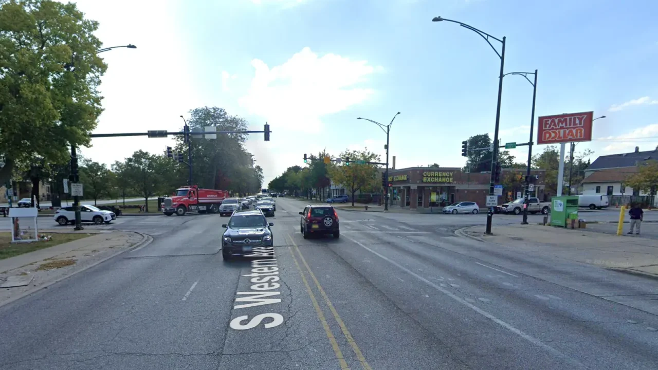
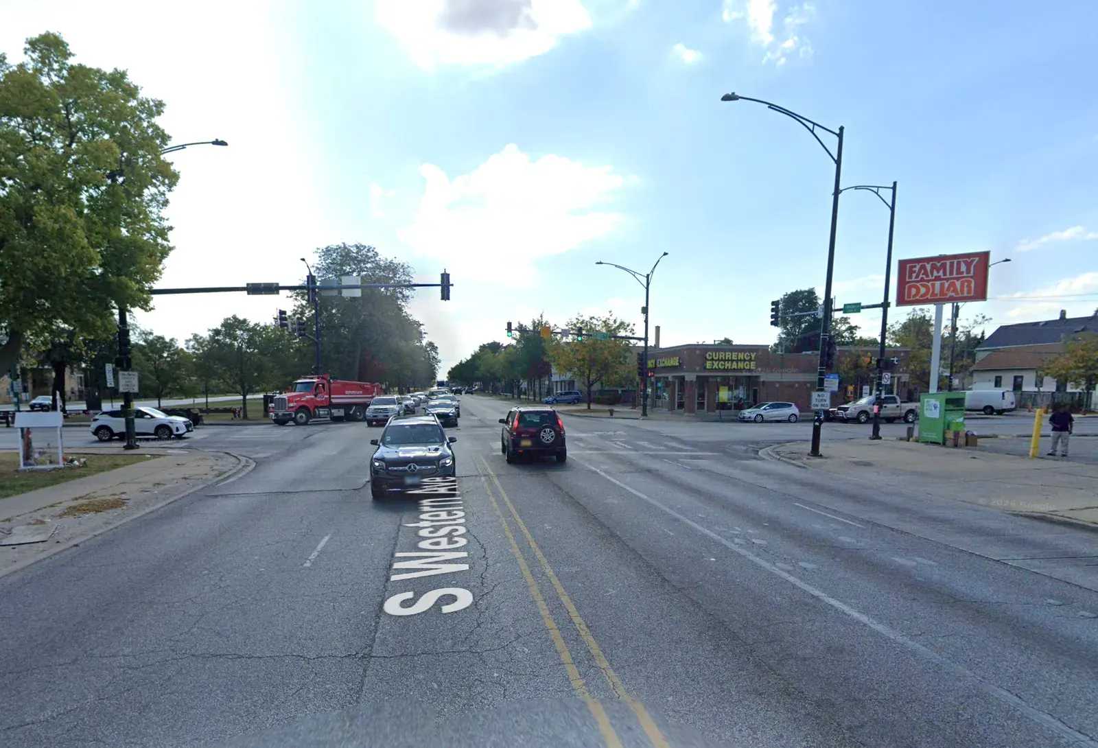
A single street, a recurring pattern of violence. On Sunday 26 July 2026, a 39-year-old man driving a grey SUV at speed on Western Avenue in Chicago’s Gage Park neighbourhood struck and killed a 63-year-old male pedestrian. The driver then hit a light pole and was taken into custody. The collision was the third fatal pedestrian crash on that same five-lane arterial in less than three months, and it occurred just one block south of where a 29-year-old woman was killed by a semi truck on 20 April.
For a London-based site the geography is distant, but the dynamic is uncomfortably familiar. London also has a Western Avenue – the A40, a major dual-carriageway connecting central London to the M40 motorway. It is a road where speed, lane width and infrequent crossing points have long been flagged as dangerous for people on foot. The Chicago tragedies offer a stark reminder that the physical character of arterial roads – regardless of city – can create predictable, preventable harm.
A deadly cluster on Chicago’s Southwest Side
The three Chicago incidents share a road type. Western Avenue on the Southwest Side is a five-lane street, often with no dedicated median, and with vehicle speeds that encourage fatal collisions. According to the Chicago Police Department and the Cook County medical examiner’s office, the sequence unfolded as follows:
- 20 April 2026, around 6 p.m. – A semi driver struck and killed Autumn Perez, 29, at 6341 S. Western Avenue in Chicago Lawn.
- 2 May 2026, around 2:40 a.m. – After an altercation, an SUV driver struck and killed a 65-year-old man standing on the sidewalk on the 5000 block of South Western Avenue in Gage Park, then fled.
- 26 July 2026, around 10:47 p.m. – A speeding SUV driver struck and killed an unidentified 63-year-old man on the 5100 block of South Western Avenue. The driver was cited for failure to exercise due care and striking a fixture, and a warrant was issued.
Streetsblog Chicago, which reported the story, noted that Chicago’s pedestrian fatalities on surface streets in 2026 had already reached 16 by late July – a pace that, if continued, would match or exceed previous years. The fatalities list shows that many occur on multi-lane roads with high posted speeds.
London’s Western Avenue: a different design, similar risks?
London’s Western Avenue is officially part of the A40, a trunk road managed by Transport for London (TfL) between the Marylebone Road flyover and the M40 near Denham. Large sections, especially through Acton, Ealing and Northolt, are dual-carriageways with 40 mph or 50 mph limits, pedestrian crossings at intervals, and frequent slip roads. The road is a key freight and commuter corridor, but also a barrier for pedestrians.
TfL data for 2020–2024 shows that the A40 corridor has recorded several pedestrian fatalities and serious injuries, though the absolute numbers are lower than Chicago’s because of different street design and enforcement regimes. In 2023, TfL reported 24 pedestrian deaths across all London roads, down from historic averages but still above the Vision Zero target. The A40 has not had a cluster of three fatalities within three months in recent years, but it remains one of the more dangerous roads for people walking in outer London, particularly in areas where crossings are far apart or where drivers routinely exceed the speed limit.
In 2022, a pedestrian was killed on the A40 near Hanger Lane gyratory, a notoriously complex junction. In 2024, a cyclist died on the same stretch. The Mayor of London’s Vision Zero action plan identifies “high-risk roads” and prioritises them for redesign, including speed reduction, junction improvements and protected cycle infrastructure. But arterial roads like the A40 are politically difficult to redesign because they serve high volumes of motor traffic and carry freight.
Vision Zero and the challenge of arterial redesign
London’s Vision Zero commitment, launched in 2018, aims to eliminate all deaths and serious injuries from the transport network by 2041. TfL has published a “Safe System” approach that focuses on safe speeds, safe streets, safe vehicles and safe behaviour. However, the implementation on major arterial roads has been slower than on residential streets, where Low Traffic Neighbourhoods and 20 mph zones have been rolled out more easily.
On roads like Western Avenue, TfL has introduced some measures: a 30 mph limit on parts of the A40 in Ealing, new signalised crossings, and a cycle route alongside the road through Acton. But critics argue that these changes are piecemeal and that the underlying geometry – wide lanes, long distances between crossings, limited pedestrian refuges – still prioritises vehicle throughput over safety.
In contrast, Chicago has not adopted a formal Vision Zero policy, despite advocacy from groups like Streetsblog Chicago and the Active Transportation Alliance. The city’s pedestrian fatality rate per capita remains higher than London’s, a gap that reflects differences in both road design culture and political will.
What remains unclear
No direct lesson from Chicago can be mechanically applied to London because the legal, planning and enforcement contexts differ. Chicago’s Western Avenue is a city-owned arterial with little median treatment, while London’s A40 is a strategic road subject to national standards and TfL oversight. The Chicago fatalities involved SUVs and speeding, both of which are also present on London roads, but UK vehicle regulations and speed enforcement are stricter.
It is also unclear how many of the 2026 Chicago pedestrian fatalities involved impairment, distraction or fleeing drivers – details that matter for designing countermeasures but were not fully reported. The London comparison should therefore be read as a prompt for reflection rather than a direct policy prescription.
What can Londoners check
London residents and councillors can inspect TfL’s “Collision Data” dashboard online to see serious injuries and fatalities on their local A-road. They can also request road safety audits for specific sections of the A40 through their borough council or via TfL’s Streetspace programme. Community groups such as “Stop Killing Londoners” and “London Cycling Campaign” have called for a more ambitious timetable for redesigning high-risk roads.
Source: Streetsblog Chicago, “Last night, an SUV driver killed a man, 63, on foot in Gage Park…”, 27 July 2026, https://chi.streetsblog.org/2026/07/27/last-night-an-suv-driver-killed-a-man-63-on-foot-in-gage-park-it-was-the-third-fatal-pedestrian-crash-on-western-on-the-southwest-side-in-less-than-three-months. Additional London traffic safety context based on TfL published reports and publicly available collision data. No direct London pedestrian fatality numbers for 2026 were available at time of writing; figures cited are from 2023–2024 annual summaries.
Datos clave
| Punto | Detalle |
|---|---|
| Fuente | Streetsblog Chicago |
| Fecha | 2026-07-27T21:26:20+00:00 |
| Tema | Last night, an SUV driver killed a man, 63, on foot in Gage Park. It was the third fatal pedestrian crash on Western on |
Fuente
Streetsblog Chicago Publicacion original: 2026-07-27T21:26:20+00:00
Related updates
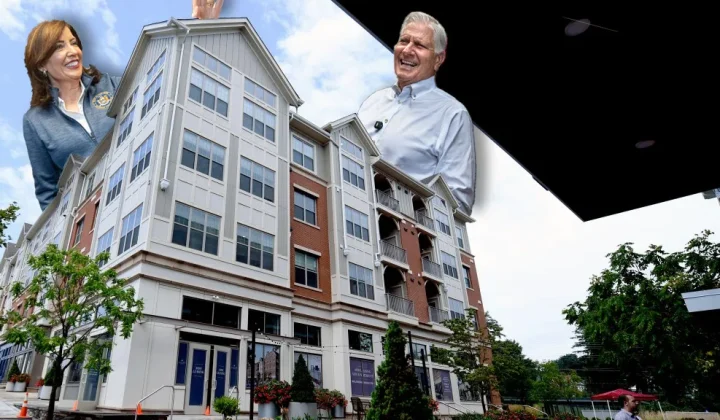
New York Poll Shows Overwhelming Bipartisan Support for Apartments Near Transit, Highlighting Contrast with London’s Own Housing Debate
A new poll from Open New York finds 79% of voters support building multi-family homes near rail stations, as the governor’s race…
Read update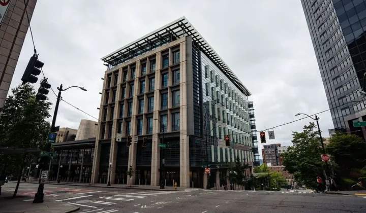
Seattle City Attorney Launches New Community Court and Repeat Offender Programme Amid Public Defender Concerns
Seattle City Attorney Erika Evans has launched Connection Court, a new community court programme, alongside a punitive High-Priority Repeat Offenses system. The…
Read update
Seattle’s Centers & Corridors Zoning Update Delayed by Environmental Review Ruling
A state hearings board ruling has forced Seattle to rework the environmental impact statement for its twenty-year growth plan, pushing the next…
Read update
FEMA disaster mitigation grants freeze threatens to stall UK resilience learning, planners warn
A US Government Accountability Office report says $2.2 billion in FEMA Building Resilient Infrastructure and Communities grants remain unresolved, delaying more than…
Read update