
Lower Manhattan Car-Free Zone for Knicks Parade Highlights Potential for Future Urban Mobility
A temporary car-free zone in Lower Manhattan for a championship parade offered a glimpse into the logistics and public reception of large-scale vehicle restrictions, raising questions about its applicability to broader urban planning initiatives.
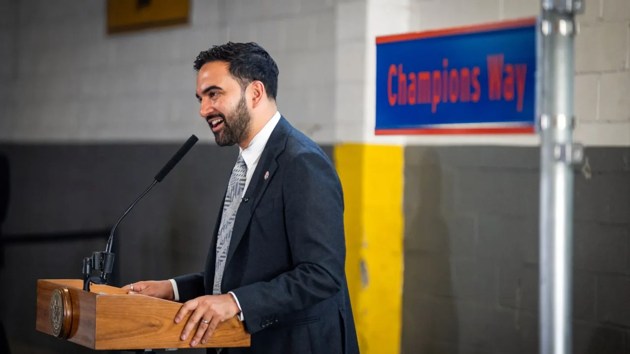
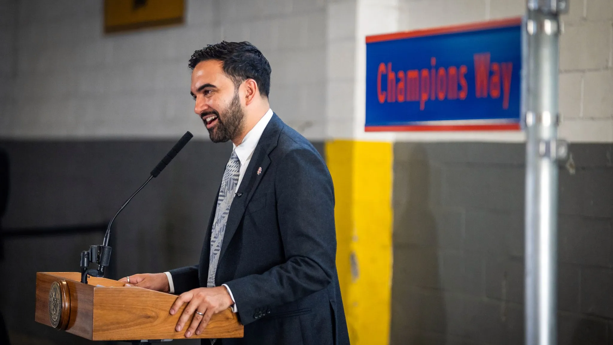
The recent ticker-tape parade celebrating the New York Knicks’ first NBA championship in 53 years brought a significant portion of Lower Manhattan under a temporary car-free regime. While the event was primarily a sporting celebration, the extensive vehicle restrictions implemented to facilitate the parade offered a real-world test case for managing urban spaces during large public gatherings and highlighted the complexities of city-wide traffic management.
The parade route, stretching from Bowling Green to City Hall, necessitated the closure of streets south of Canal Street. The New York Police Department (NYPD) announced towing would begin at 7 p.m. prior to the event, with one traffic enforcement agent suggesting a later start time of 10 p.m. for actual towing. Reports from the scene indicated that towing was not universally applied to all parked vehicles south of Canal Street after 10 p.m., but was concentrated on cars within and near the parade route.
Por que importa
The NYPD anticipated “millions” of attendees, leading to security perimeters with access points opening at 6 a.m. The intention was to create a dedicated space for the parade, prioritising pedestrian movement and public safety. While the FDR Drive and West Side Highway remained open, traffic entering Manhattan via the Brooklyn Bridge was impacted. The initiative aimed to transform a dense urban area into a pedestrian-focused zone for a significant period, demonstrating the city’s capacity to orchestrate such large-scale mobility shifts.
This temporary measure, while driven by a specific event, raises pertinent questions for urban planners and policymakers in London and globally. The feasibility and public acceptance of widespread car-free zones are critical considerations for developing more sustainable and liveable urban environments. Such events, even when temporary, provide valuable data on crowd management, the effectiveness of traffic diversions, and the public’s adaptability to reduced vehicular access.
Contexto
The “car-free downtown” experience, as described by Streetsblog reporters, offers a tangible, albeit short-lived, example of how urban centres can be reconfigured to prioritise people over cars. The success of such an initiative hinges on meticulous planning, clear communication, and robust enforcement, alongside the provision of alternative transport options. The Knicks parade demonstrated that even in a city as car-dependent as New York, significant portions of the urban fabric can be temporarily reclaimed for public use.
The logistical challenges encountered, such as the precise timing of towing operations and the enforcement of restricted zones, underscore the need for detailed operational plans. The concentration of towing efforts on the immediate parade route, rather than a blanket enforcement south of Canal Street, suggests a pragmatic approach to minimise disruption while achieving the primary objective of securing the parade area.
Future urban planning could draw lessons from such events. For London, with its own ambitious goals for reducing traffic and improving air quality, understanding the mechanics of temporary car-free zones is invaluable. This includes assessing the impact on local businesses, the effectiveness of public transport in accommodating displaced vehicular traffic, and the overall resident and visitor experience. The ability to adapt and manage large-scale events that necessitate significant traffic restrictions is a key indicator of a city’s resilience and forward-thinking urban strategy.
The Knicks parade, beyond its sporting significance, served as an impromptu urban experiment. It highlighted the potential for large-scale public events to test radical mobility concepts, offering insights into how cities can transition towards more pedestrian-friendly futures. The experience of Lower Manhattan going car-free for the parade provides a compelling case study for urban planners contemplating similar strategies to enhance public spaces and promote sustainable transport.
Key facts
| Aspect | Detail |
|---|---|
| Event | New York Knicks NBA Championship Parade |
| Location | Lower Manhattan, New York City |
| Duration | Temporary closure for parade |
| Restrictions | Streets south of Canal Street closed to vehicular traffic |
| Enforcement | Towing of vehicles parked in restricted areas |
| Anticipated Crowds | Millions |
The transformation of Lower Manhattan into a temporary pedestrian zone for the Knicks parade underscores the potential for strategic, event-driven mobility changes. While the immediate context was celebratory, the underlying logistical feat of managing a car-free area of this scale offers a valuable precedent. It provides a tangible example of how significant urban areas can be temporarily re-imagined, offering a blueprint for future urban planning initiatives that seek to prioritise public space, pedestrian flow, and sustainable transport solutions in densely populated city centres. The success of such an undertaking requires careful coordination between city agencies, clear communication with the public, and a willingness to adapt strategies based on on-the-ground realities.
Source: Streetsblog NYC, https://nyc.streetsblog.org/2026/06/18/thursdays-headlines-nothing-but-knicks
Fuente
Streetsblog NYC Publicacion original: 2026-06-18T04:01:00+00:00
Related updates

Seattle-Area Race Highlights Diverging Approaches to Housing, Transit and Tech Taxation
A Washington State legislative race in the 32nd District pits incrementalism against urgency on housing supply, transit funding and tech regulation, with…
Read update
New York court ruling on sanctuary policies carries implications for city-level immigration enforcement across the US
A federal judge has dismissed the Trump administration’s attempt to override New York City’s restrictions on immigration enforcement cooperation, citing state sovereignty.…
Read update
Automated license plate readers raise privacy, contract and oversight questions for UK cities
A new US-focused analysis of automated license plate recognition cameras highlights contract, privacy and oversight issues that London boroughs and Transport for…
Read update
Oregon’s “fix it first” dilemma: what London’s transport planners can learn from a revolt against megaprojects
Surveys show Oregonians overwhelmingly want existing roads repaired before new megaprojects are funded, and trust in the state’s transport agency has collapsed.…
Read update